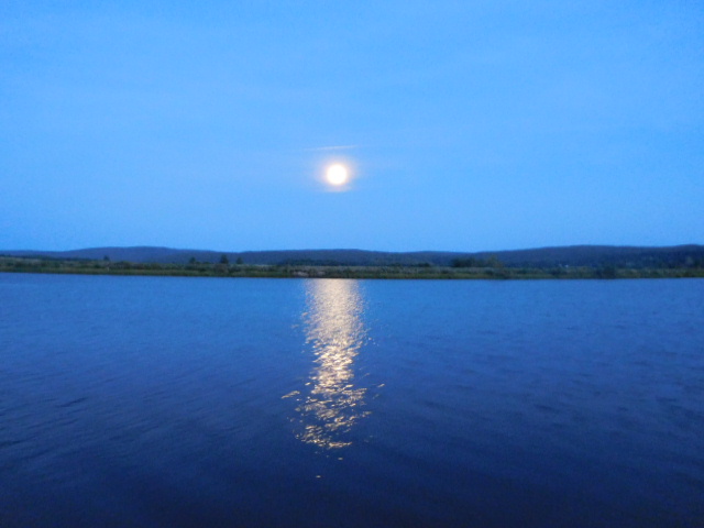
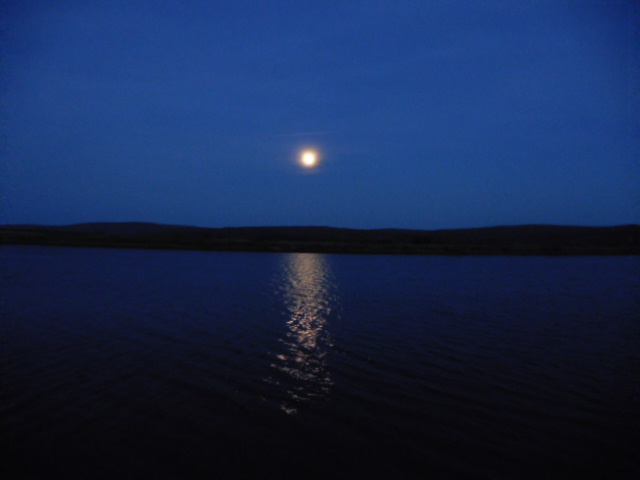
September 4th, 2017 Moon reflections on the Annapolis River near the LeBlanc Monument!

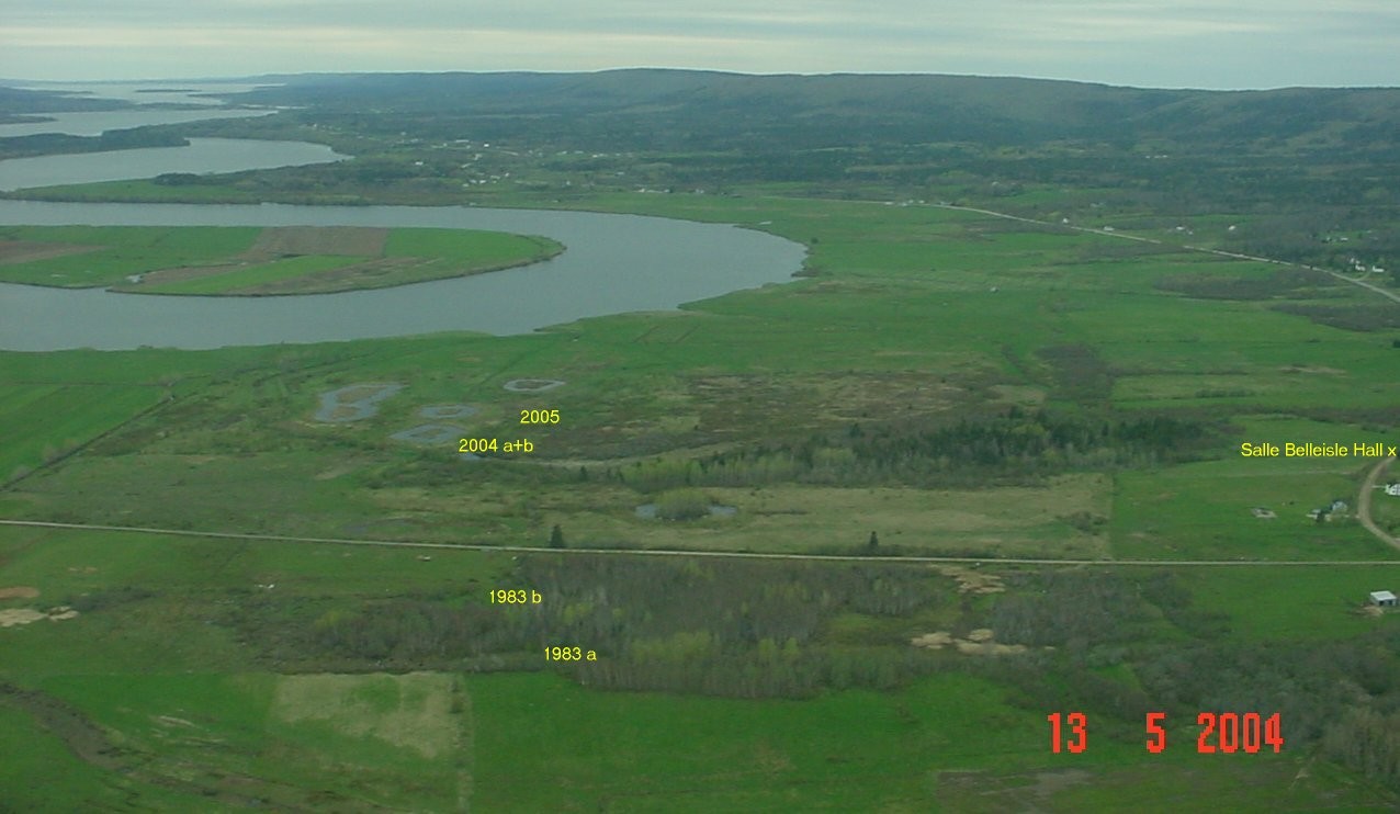
Special thanks to Jean-Claude Savoie, a businessman from St. Quentin, NB, who commissioned Dr. Marc Lavoie, archaeologist at St. Anne Univ. in NS to excavate two homesteads in Belleisle in 2004 and 2005 believed to be Savoie houses and possibly a Gaudet house in Belleisle in 2004 and 2005. Dr. Lavoie was also involved in the Museum of NS digs in Belleisle of 1983. Aerial photo of the Belleisle Marsh taken in May, 2004 by Ghislain Savoie.
ArcGIS Belle-Isle Map!
This interactive map was created in 2013 by Scott Comeau, with historical input from Marc Lavoie, the Nova Scotia Museum of Natural History in Halifax, and Diane (Doucet) Surette.
You can easily browse on this site:
http://www.arcgis.com/home/webmap/viewer.html?webmap=9427439581f440669014f83cb92120a3
Once on the site, you can select from the top left the details box, then move to the basemap box, you can choose which map format you wish to use, once the map is open, if desired, you can blow the map by using the + or – menu on the left side.
Then locate either a house icon, church, windmill, or a red dot, move your mouse arrow on it, left click on it, you will get a description box with narrative information.
Please note: the historical map of 1757 “Plan of the River of Annapolis Royal in Nova Scotia” is the base for the location of historical data of this web site map.
More information of the 1757 map can be found by scrolling down in the news and reading the article of May 12th, 2010.
Enjoy!
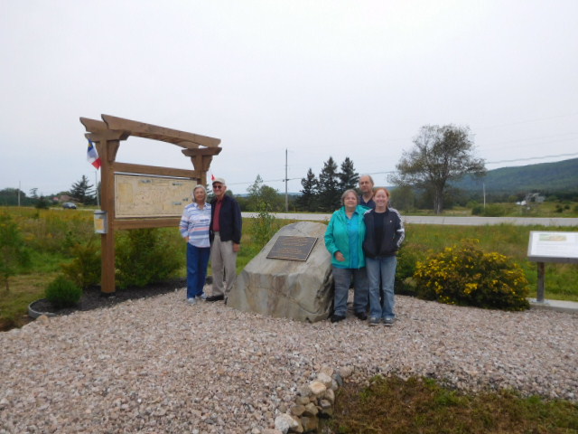
AJ LeBlanc family from LaRose, La., accompanied by Emile Blinn and his family, radio cifafm, Saulnierville, Nova Scotia