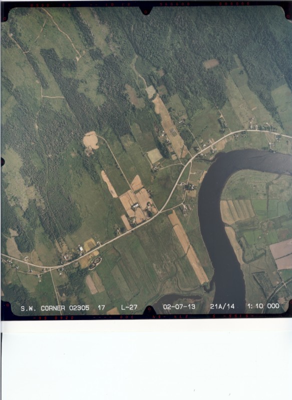
Minister Graham Steele announced Friday 22 October 2009 that Belle-Isle Marsh would now be protected.
BelleIsle Marsh, located between Annapolis Royal and Bridgetown, is now protected by the government of Nova Scotia. Minister of Acadian Affairs, Graham Steele, made the announcement Friday evening on the occasion of the opening of the annual general assembly of the Acadian Federation of Nova Scotia.
The BelleIsle Marsh is one of the first places where Acadians settled in the Acadia of the Maritimes.
In the 17th century some thirty Acadian families in this marsh owned farms which they had drained with the aid of aboiteaux. According to archaeologist Marc Lavoie, BelleIsle is of particular importance because no one settled at the marsh after the Deportation. He explains that no one besides the Acadians, knew how the aboiteaux worked. This archaeologist, who has carried out digs at BelleIsle Marsh for several years, confirms that "BelleIsle Marsh is the largest Acadian village in the cradle of Acadia." In addition, one quarter of the BelleIsle Marsh is now protected thanks to the actions of Robert and Diane Surette. After purchasing a parcel of land at the Marsh they discovered that it was the land of their ancestors.
(Belleisle Marsh Protected Site Designation made under Section 7 of the Special Places Protection Act R.S.N.S. 1989, c. 438 , O.I.C. 2010-387 (October 21, 2010), N.S. Reg. 158/2010)
